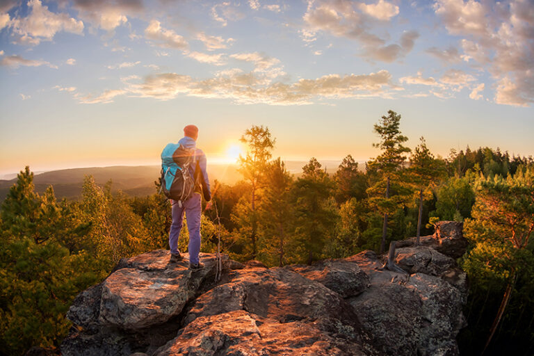
Since the first successful summit of Mount Everest back in 1953, the Himalayas have become a far more accessible destination for trekking expeditions. And yet, this amazing region – ten times the size of France – was previously the reserve of traders, shepherds, and pilgrims. For these shepherds and traders, traveling on foot through the high mountain passes was simply a way of life. The pilgrims, on the other hand, believed that the higher and tougher the journey was, the closer it brought them to salvation or enlightenment. Either way, embarking on trekking expeditions through this vast region was – and still is – a challenge as monumental as the peaks that it contains.
And no wonder – the Himalayas are truly epic. They stretch for approximately 2,500km through Asia, passing through India, Pakistan, Afghanistan, China, Bhutan and Nepal. They contain Earth’s highest mountains and deepest gorges, plus some 50 million people who call this alpine wilderness their home. Even on a shorter trek through the Himalayas – which will often take you along ancient trading and pilgrimage routes – you’ll experience a colourful mosaic of peoples, cultures and communities.
Mapping the peaks
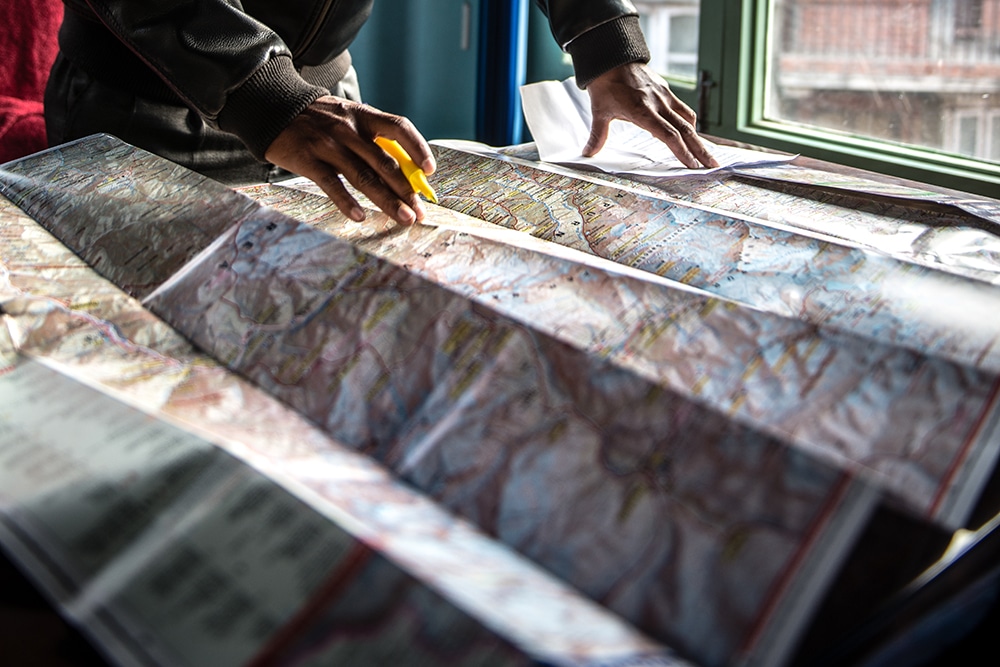
The first map of the Himalayas is believed to have been drawn up in 1590 by a Spanish missionary called Antonio Monserrate. In 1733, French geographer Jean-Baptiste Bourguignon d’Arville compiled the first map of Tibet and the Himalayan range.
As time went on, more maps were compiled, contributing to the knowledge base for future expeditions. Many Himalayan peaks were meticulously mapped between 1849 and 1855, designating them by letters and Roman numerals instead of individual names. Notably, Mount Everest, destined to become a focal point of exploratory expeditions, was initially labelled “H”, and by 1850 it was simply referred to as “Peak XV”. In 1865, this towering peak was renamed after Sir George Everest, the esteemed surveyor general of India. However, it wasn’t until 1852 that explorers realized they had encountered Earth’s highest mountain, standing at an awe-inspiring 8,850 meters above sea level.
Aerial photography and satellite reconnaissance were used to produce more accurate and detailed maps of the Himalayas after the Second World War.
The dawn of the Himalayan mountaineers
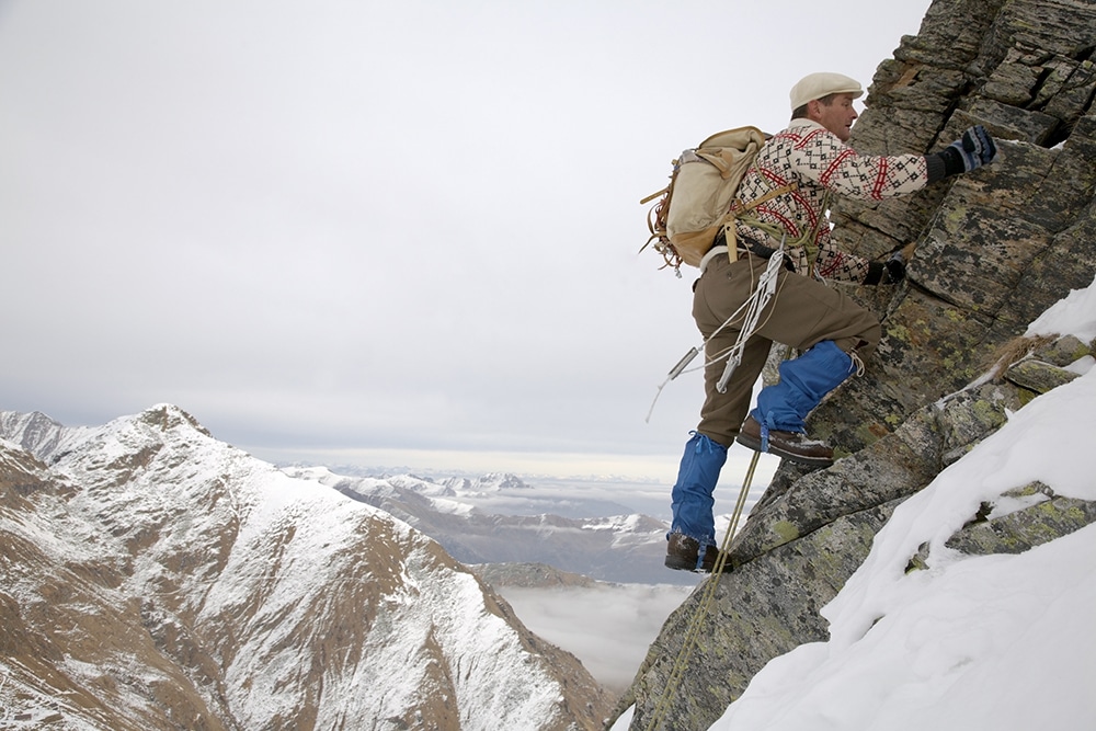
Himalayan mountaineering began in the 1880s. The British climber W.W. Graham claimed to have scaled several mountains in 1883, sparking interest among other mountaineers who wanted a piece of the action. More Europeans followed, and the number of expeditions increased in the early 20th century. There seemed to be a national preference for the different mountains – while the Americans concentrated on K2, the British headed for Mount Everest.
In the 1920s, the American couple Robert and Katherine Barrett spent a year wandering through the western end of the Himalayas. They travelled in style, sleeping in embroidered tents, with 20 ponies, a team of porters and eight servants to look after their needs.
The English climbing partners Bill Tilman and Eric Shipton explored some of the most remote regions in the Himalayas. In 1934, they pioneered a route to the Nanda Devi sanctuary through the Rishi Ganga gorge. The pair were known for travelling light – Shipton took just two shirts on a five-month expedition, saying: “There is much to be said for a simple mountain journey, whose object […] is just to get from one place to another”.
Beyond Everest
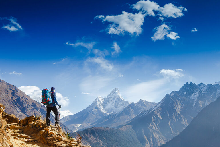
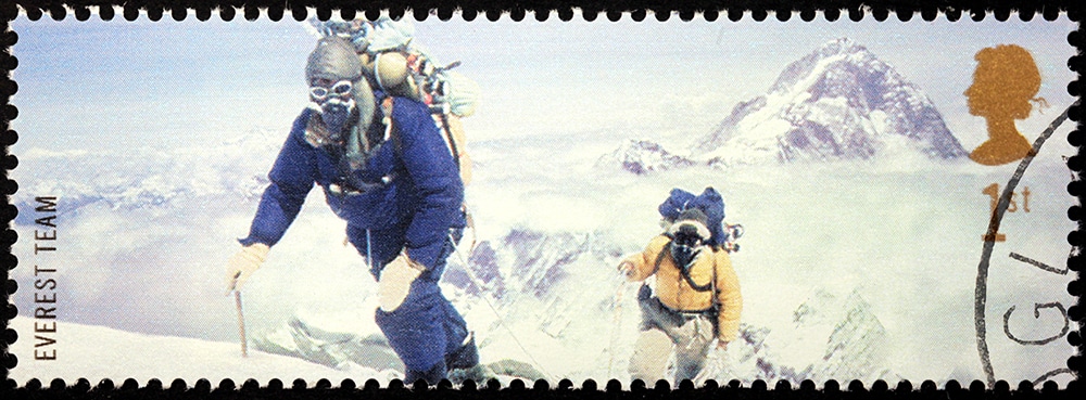
The first European attempts to climb Everest started in around 1921, but it wasn’t until 1953 that it was successfully scaled by the New Zealand mountaineer Edmund Hillary and his Tibetan partner Tenzing Norgay. Easier access to the mountains has brought increasingly large numbers of climbers and hikers into the region – to date, more than 6,000 different people have reached the summit of Everest.
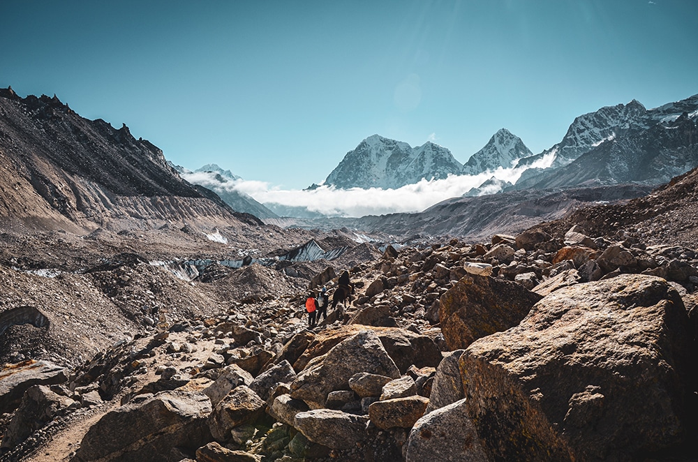
As Earth’s highest point, it’s easy to see why Everest gets most of the headlines. But there are so many more Himalayan treks to discover. Nepal is a trekker’s paradise, with mountain paths lined with spinning prayer wheels and charming Sherpa villages. The Mardi Himal trek, for instance, takes in lush foothills and forest, steep mountain ridges and awesome views towards jaw-dropping 8000m peaks like Annapurna.
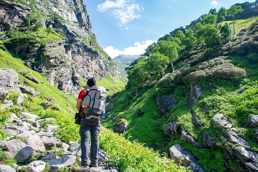
India’s magic mix
India’s unique mix of culture, challenge and adventure makes it a standout destination in the Himalayas. The Hampta Pass route takes you through a varied landscape of pine forests, river crossings and gorges before a tough ascent up the Hampta Pass (4,300m). Another option is a trek that starts at the Hindu pilgrim town of Gangotri – the origin of the river Ganges – and follows the pilgrim’s trail to Gaumukh, the main source of the Ganga. With steep sections and epic mountain views, the sense of achievement as you crawl into your tent each night is unbeatable.
For Liz Tuck, Product & Sustainability Team Manager at World Challenge, it’s the challenge that Himalayan trekking offers that makes it so appealing. “India has the magic mix of everything,” she says. “But the trekking really sets it apart. The routes we have on offer are some of the most challenging of anywhere we go, but also the most rewarding – the toughest climbs lead you to the best views.”
Written by Ellie Ross